

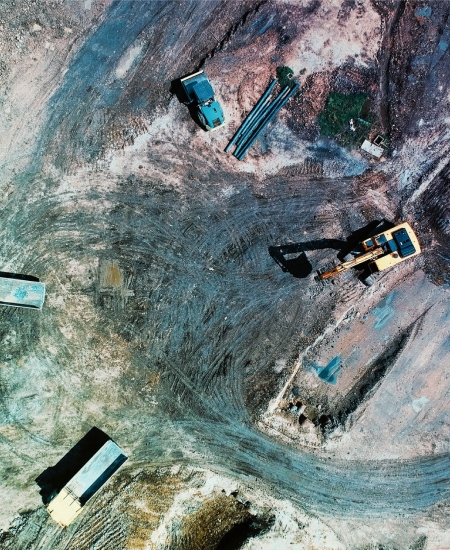
UAV and Aerial Surveyor
Average Salary
£44,200
Job Forecast
+2%
Currently Employed in Scotland
4,339

What is a UAV and Aerial Surveyor
Getting in and Qualifications

A number of skills are required for this role, which you can gain through a range of educational pathways including higher education and practical work experience.
It is likely that a highly-specialised degree will be required for this role. It can also be useful to undertake HNC and HND courses in Geomatics, Surveying and Mapping Science.

Membership of an industry organisation, such as RICS, can also be a valuable way to build contacts within the industry and land a suitable role.
Entry requirements for courses can change. Always contact the college, university or training provider to check exactly what you will need.